In early 2021 Eyesea completed its first deep sea tests of the prototype pollution mapping app. Proof of concept readings were taken by crew aboard an Oldendorff Carriers dry bulk vessel in the Atlantic off the east coast of Florida, and by seafarers on a Union Marine Management Services vessel off the coast of Guinea Bissau and Senegal.
Thirty seconds per report
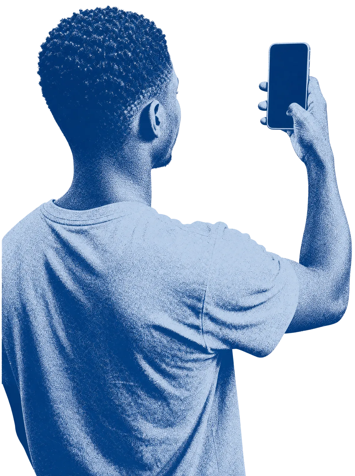
“The successful tests by Oldendorff Carriers and UMMS show how easy it is for seafarers to help us accurately map global pollution by capturing observational data in the form of GPS stamped pictures via our app. It literally takes less than 30 seconds to record a point of interest with the app,” said founder Graeme Somerville-Ryan.
The Oldendorff vessel also captured imagery of a Sargassum seaweed bloom, an early demonstration that the observations have value beyond litter alone.
Scaling up by route
After the tests, the trial programme extended to a wider range of commercial vessels covering more trade routes, along with recreational craft and community volunteers, ahead of the app’s public release later that year.
Sources
-
Splash247, 3 February 2021. Reports the completed tests and next steps.
-
The Maritime Executive, 2 February 2021. Coverage of the vessels, locations, and results.